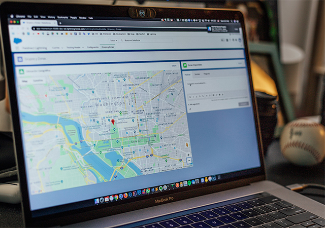
GIS Mapping
Are you a development organization, NGO, or social enterprise involved in making a positive impact on communities and regions? Unlock the power of spatial data with our specialized map design service tailored to the unique needs of the development sector. We understand the critical role that maps play in planning, monitoring, and communicating development initiatives. Our experienced team of GIS specialists and cartographers combine technical expertise with a deep understanding of development challenges to create visually compelling and insightful maps.
Key Features:
Data Visualization: We transform complex spatial data into visually appealing maps that communicate information effectively. Our maps use color, symbols, and labeling to highlight key development indicators, such as population demographics, infrastructure, natural resources, and socio-economic factors. We help you visually convey trends, patterns, and spatial relationships, making it easier for stakeholders to understand and analyze the data.
Spatial Analysis: Our expertise in Geographic Information Systems (GIS) enables us to perform sophisticated spatial analysis. By overlaying multiple layers of data, we identify correlations, hotspots, and gaps in service provision. This analysis helps inform decision-making, target interventions, and allocate resources efficiently.
Participatory Mapping: We believe in engaging local communities in the mapping process. Through participatory mapping, we capture and integrate local knowledge and spatial information from community members. This approach fosters community ownership, ensures accuracy, and empowers stakeholders to actively participate in the development process.
Affordable Price Options: We believe that exceptional design should be accessible to all. Our invitation card design service offers affordable pricing options without compromising on quality. We work within your budget to deliver outstanding designs that elevate your image and drive results.
Digital Delivery: We provide high-resolution digital files in commonly used formats such as PDF, JPEG, or PNG. These files can be easily shared, printed, and incorporated into reports, presentations, websites, or other digital platforms.
Timely Delivery and Collaboration: We understand the urgency and importance of delivering maps on time. Throughout the design process, we encourage collaboration, value your feedback, and ensure that the final maps meet and exceed your expectations.
Optional Add-ons and Services:
Interactive Web Maps: We can develop interactive web maps that are hosted on online platforms. These maps allow users to explore different layers of data, zoom in and out, and interact with various features. We can provide you with the necessary code or embed the web map directly into your website or online platform.
Printed Maps: If you require physical copies of the map design, we can arrange for high-quality prints. Printed maps are suitable for various purposes such as wall displays, posters, brochures, or handouts. With our access to high-tech printing facilities, we ensure that the printed maps are produced with precision and attention to detail, maintaining the visual integrity of the design.
GIS Data Packages: Along with the final map design, we can provide a comprehensive GIS data package. This includes the raw data used to create the map, as well as any additional layers or shapefiles that may be relevant to your project. This package allows you to further analyze the data, update the map, or integrate it into your own GIS system.
On-site Training and Installation: If required, we can provide on-site training and assistance with the installation of mapping software and tools. This option is particularly useful if you need support in setting up GIS systems or want to ensure that your team can effectively utilize and update the map designs internally.
**Leave it up to us for a map with meticulous informations**


